Different vehicles have different levels of navigational freedom. Trains are very restricted, with their movements dictated by the rails on which they travel. Cars and other road vehicles enjoy greater flexibility, with the freedom to take several routes depending on the driver's preference. But what about the factor of altitude comes into play? Aircraft travel further and faster than these vehicles, and at a range of different heights. So how exactly do they navigate?
In the air
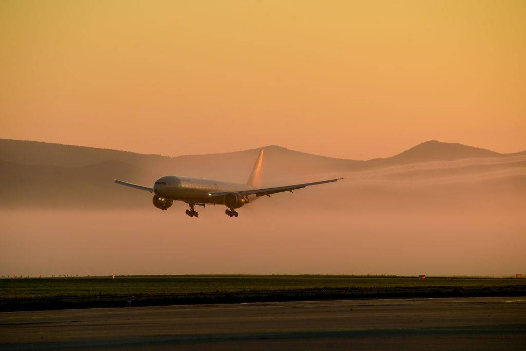
How aircraft navigate while in the air is influenced by whether they are flying under Instrument (IFR) or Visual (VFR) Flight Rules. When flying under IFR, pilots will navigate their aircraft using aspects such as radio and satellite navigation (GPS), as well as, as the name suggests, the plane's cockpit instruments.
Meanwhile, when flying under VFR, such aids are generally only used as supplementary features. For the most part, VFR flight tends to rely on observational navigation, in which pilots visually calculate their position relative to another fixed point, sometimes with the aid of maps.
Stay informed: Sign up for our daily and weekly aviation news digests!

In years gone by, aircrews would sometimes feature a dedicated navigator in addition to the two pilots (and sometimes also a flight engineer). However, as technology has improved over the years, the need for this role has been eliminated. The navigator's presence would allow pilots to concentrate on other tasks, at a time when fewer aspects were automated than today.
On the ground
Pilots also need to know their way around when taxiing their aircraft between the gate and the runway. At smaller airports, or ones with which the crew is familiar, this may not be the most challenging task. However, at large or unfamiliar airports, it is paramount that pilots can still find their way around without making a wrong turn that could cause delays.

The Points Guy reports that aircraft are often provided with a paper map of the airport in question. This will feature conspicuously-labeled gates and taxiways to ensure that even first-time visitors know where they're going.
Additionally, modern aircraft also often have a computerized moving map for ground movements, similar to a car's GPS. This is useful when there is low visibility, either during the hours of darkness or due to inclement weather.
A crucial safety aspect
An aircraft's navigation systems are a vital aspect in terms of ensuring its safe operation. As such, failures are often taken very seriously, resulting in diversions. Simple Flying covered two such incidents in 2019.

The first of these, in August that year, involved an Icelandair Boeing 757. This aircraft had been en route from Reykjavík-Keflavík (KEF) to Seattle-Tacoma International (SEA). In this instance, the aircraft encountered issues with its LNAV (lateral navigation) and VNAV (vertical navigation) systems while cruising at 34,000 feet near Greenland. It eventually landed safely in Reykjavík.
Then, in November 2019, a similar incident befell a Delta Air Lines Airbus A220. Funnily enough, this flight had also been bound for Seattle, although its origin in this instance was Denver, Colorado. Having encountered problems with the navigation systems 36,000 feet over Idaho, the crew elected to divert to Salt Lake City, Utah, where, thankfully, they also landed safely.
Were you aware of the different ways in which aircraft navigate? Perhaps you've seen some of these systems in person on flight deck visits? Let us know your thoughts and experiences in the comments!