An Instrument Landing System (ILS) is a radio navigation system that guides aircraft on approach and landing. It has been in use since the 1930s, and its operation using directional radio signals remains much the same. Improvements in technology, both on the ground and in aircraft, have improved performance, though, to the point of enabling automatic landings in the worst conditions.
When is ILS used
ILS is a radio navigation system installed at most commercial airports. It is designed to aid pilots in approach and landing, showing whether the aircraft is lined up correctly for the runway. This includes both laterally (to the left or right of the runway centerline) and vertically (on the correct glideslope for landing). This dual guidance is what is known as a 'precision approach.'
This can aid pilots on all landings, but especially in poor visibility or night landings. The original intention was to guide pilots down to a minimum height above the runway, from where they would continue landing visually. With improving technology, though, ILS can now take commercial aircraft right down to the runway.
Basic ILS radio operation
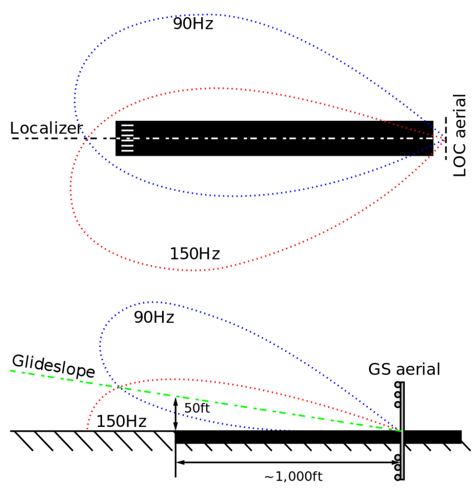
ILS works by using two radio signals, sent from transmitters at the airport and received and interpreted onboard the aircraft. One of these, known as the localizer, will guide the aircraft laterally; the other, known as the glideslope, vertically. They have separate frequencies (for the localizer, it is usually between 108.1 to 111.95 MHz and glideslope higher at 329.15 to 335 MHz).
Each of these transmissions combines two different frequency signals, at 90 Hz and 150 Hz.
The lateral signal is transmitted by the localizer, a physical transmitter placed at the end of the runway. The intersection of the two different frequency signals marks the runway centreline.
And the glideslope signal is transmitted by equipment located to the side of the runway, usually in the area of the runway landing zone. Again this works using the two signals, just vertically this time, with the interaction of the signals marking the ideal glideslope.
Receiving equipment onboard the aircraft will interpret the radio signals (using the relative strength of the signals to determine position).
Correct glideslopes
This signal will follow the established glide path for the airport. For many airports, this is a standard three-degree slope, but some are different. London City Airport, for example, uses a steep 5.5-degree approach on the ILS.
Systems also need to take account of false glideslopes. This can occur when objects on the ground reflect the signal, creating a false glideslope at a steeper angle. These can be avoided by the pilot (and aircraft systems) by intercepting the glideslope correctly and noticing a steeper than anticipated slope.
Stay informed: Sign up for our daily and weekly aviation news digests.
ILS Categories
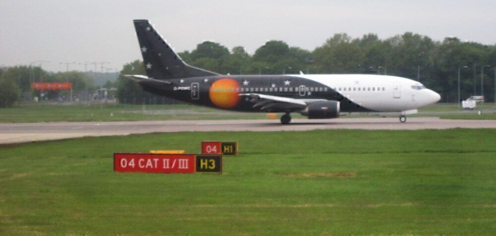
ICAO standards (incorporated into practice by aircraft regulators such as the FAA) determine several ILS approach categories. This specifies at what height pilots should switch from ILS to visual guidance (it also specifies minimum levels for visibility).
- A CAT 1 approach requires the pilot to fly visually after 200 feet above the runway. This is usually used for small general aviation aircraft.
- CAT 2 approach lowers this minimum height to between 100 and 200 feet.
- And a CAT 3 approach allows instrument guidance to continue below 100 feet. This can include automatic landing in low visibility by the aircraft autopilot.
Switching to GPS
ILS technology has been around for a long time. Onboard systems and sophistication have, of course, improved, but its basic radio operation remains much the same. The first operational system was used at Berlin Tempelhof airport in 1932 and the US in 1938.
It remains the most common system used today, but there have been (and are) alternatives. Microwave landing systems were introduced from the 1980s, with several advantages, including wider coverage from the airport and better poor weather performance. These have been used at some airports, including London Heathrow, but have not replaced ILS.
Satellite technology and GPS today provide a viable alternative, and several systems have been implemented. GPS-based systems are available in several regions as support for ILS navigation. In the US, for example, there is the Wide Area Augmentation System (WAAS), and Europe has implemented the European Geostationary Navigation Overlay Service (EGNOS).
Navigation and airport ILS is not something we often discuss. Feel free to add any details, or other information about current and future systems, in the comments.


