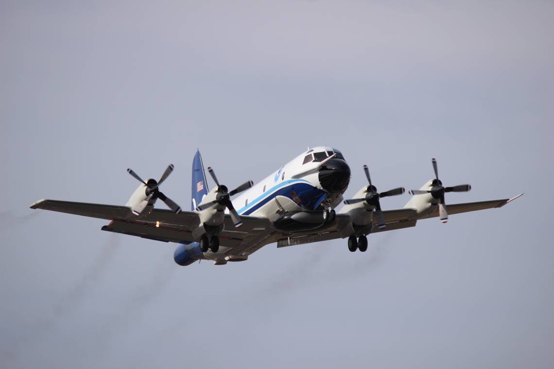
Aerospace engineer Nick Underwood was aboard a Lockheed WP-3D Orion airplane nicknamed 'Kermit' as his team flew into hurricane Ian to record meteorological data. Underwood, who has flown into dozens of hurricanes over the past few years, reported that the flight was the roughest he had ever experienced. The hurricane has currently left over one million people without power in the state of Florida.
Rough air
The National Oceanic and Atmospheric Administration (NOAA) dispatched Underwood and his team to record metrological data concerning Hurricane Ian. The NOAA gathers critical intelligence to help people across North America prepare for these impending disasters. The data collected by this team went to help meteorologists calculate the storm's trajectory and potential growth. This information was used to help public officials decide on evacuation orders and what mitigation tactics should be utilized.
Kermit and its accompanying crew departed Houston Ellington Airport (EFD) at 02:55 CT. The crew flew southeast over the Gulf of Mexico to the Caribbean, where hurricane Ian was laying waste to the land, air, and sea. After roughly two hours in the air, the fearless Kermit penetrated the outermost edge of the hurricane.

While in the storm, Underwood managed to make a video recording of the terrifying experience. He started recording while they were near the eyewall, one of the most turbulent parts of a hurricane. This comes just before the eye, which is famous for being the calmest part. He reported that there was far more lightning than he had seen in any hurricane. Amid the heavy turbulence, items inside the cabin were flung in all directions despite the crew's best efforts to strap everything down. From mattresses to crew members, nothing could escape mother natures fury.
The eye of the storm
The airplane flew straight into the storm's eye, where it circled to gather additional weather data before it departed the storm. It returned to EFD at 09:42 CT. Approximately nine hours after Kermit made contact with the swirling vortex of wind and rain, Ian made landfall near Fort Myers, Florida. By the time it reached the contiguous US, it had grown to a category four hurricane with winds in excess of 150 miles per hour.

After making landfall, the hurricane began to dissipate as it crossed the eastern seaboard's southern peninsula. By the time the eye returns to the Atlantic Ocean, the storm is predicted to calm to the point it will no longer be considered a hurricane but a dangerous tropical storm. The storm will continue to make its way north along the eastern US bringing heavy rainfall and high winds to the region.
Get the latest aviation news straight to your inbox: Sign up for our newsletters today.
Despite its dissipation, millions of Floridians have been forced to evacuate, with many being cut off from public utilities and emergency services. Streets across central Florida are flooded. The NOAA warns residents that the flooding will remain a life-threatening hazard in the coming days regardless of the storms' departure. The storm also disrupted thousands of flights in the region this week, with all airlines servicing Florida being forced to alter schedules due to weather hazards.
What do you think of this hurricane flight? Let us know in the comments below.
Source: The Washington Post, FlightAware