Pilot and vlogger Gaurav Taneja - owner of the YouTube channel 'Flying Beast' - is set to draw a map of India in the sky to commemorate the country's 74th Republic Day. The ‘Aasman Mein Bharat’ mission will launch from Tampa Airport, Florida on January 26th and involve around three hours of flying. Let's take a closer look below.
Pilot to draw biggest-ever India map
Captain Taneja, who boasts over 12 years and 6,000 hours of flying experience is attempting to break the record for the largest-ever map of India drawn in the sky. As reported by Business Wire India, the Aasman Mein Bharat mission can be tracked on Taneja's social media channels
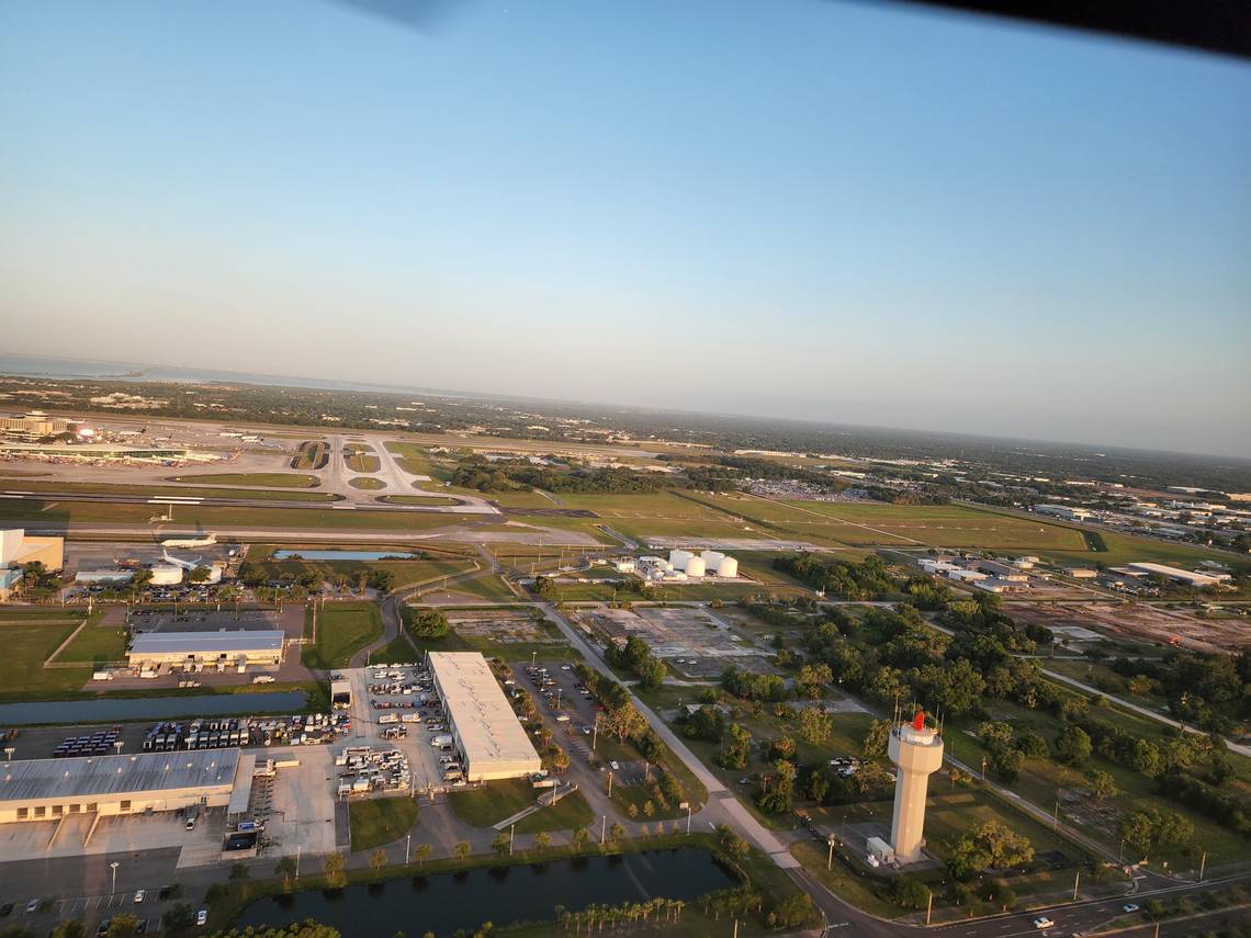
The stunt will originate from Tampa Airport, Florida on India's Republic Day this Thursday - while details of the mission are still scarce, it will reportedly cover around 350km of distance during a three-hour flight.

A press release reported by Business Wire India said,
"As we are approaching the 74th year of the Constitution of India on the occasion of the Republic Day, Captain Gaurav Taneja aka Flying Beast will be drawing the Largest map of the Largest Democracy in the World in a nation-binding patriotic initiative named ‘AASMAN MEIN BHARAT’."
Who is Captain Taneja?
Gaurav Taneja, otherwise known as the Flying Beast, has around 17 million followers across his social media handles - having initially made his name with aviation-related content, Taneja now posts wide-ranging videos, including vlogs of his daily life and workout regimen. Taneja reportedly gave up his aviation career for good in 2020 and transitioned to a full-time content creator.
Discover more aviation news with Simple Flying.
Other drawing stunts
As you would imagine, there have been plenty of high-profile drawings in the sky, both by commercial and private pilots. As reported by New York Post, a pilot who took off from Bellingham, Washington made headlines after he drew a middle finger just over the US-Canada border, a maneuver spotted by aviation enthusiasts following online flight trackers.
One aviation company, Lightspeed, even set up a competition for pilots to create their own artworks in the sky - interesting creations included a sneaker, a wolf, and even a pilot who drew the plane he was flying. Commercial aircraft have performed similar stunts too - as Simple Flying reported in March 2021, an Aegean Airlines A320 celebrated Greek Independence Day by drawing a giant '200' in the sky to commemorate the occasion.
Will you be following the mission to draw the largest-ever map of India in the sky? What is the most memorable drawing you have heard or seen? Let us know in the comments.
Source: Business Wire India