The mass evacuation of Kabul over the past few weeks has been a military operation of immense proportions. For the most part, the airlift from Kabul airport has been undertaken by military aircraft, partnering with neighboring countries to deposit refugees at their airports for onward transportation by commercial aircraft. Satellite data from Spire Aviation has revealed the most utilized routes.
Evacuating a city
Since control of Kabul fell to the Taliban, governments worldwide have been trying to evacuate their citizens and Afghan nationals in need as fast as possible. The Taliban gave the world until August 31st to complete their repatriation missions, but things were getting desperate at the airport even before that date arrived.
Afghan airspace was declared uncontrolled on August 16th. This didn’t close the airspace, but came with a warning for any airlines attempting to fly into the airport. Most began avoiding the airspace from then on, but a few brave commercial airlines continued to persist in airlifting refugees.
Turkish Airlines got in and out of the airport on the 16th, taking a Boeing 777 to Kabul on an evacuation service. Other airlines diverted away, but some were enlisted by their governments to undertake repatriation missions. We saw Lufthansa’s A340, Spain’s Iberia and a number of US airlines drafted in, although these flew to airports in neighboring nations to airlift out their people. The last commercial airline flying into Kabul was PIA, but it too suspended services on August 23rd, citing a lack of security and deteriorating facilities as the reasons for its withdrawal.

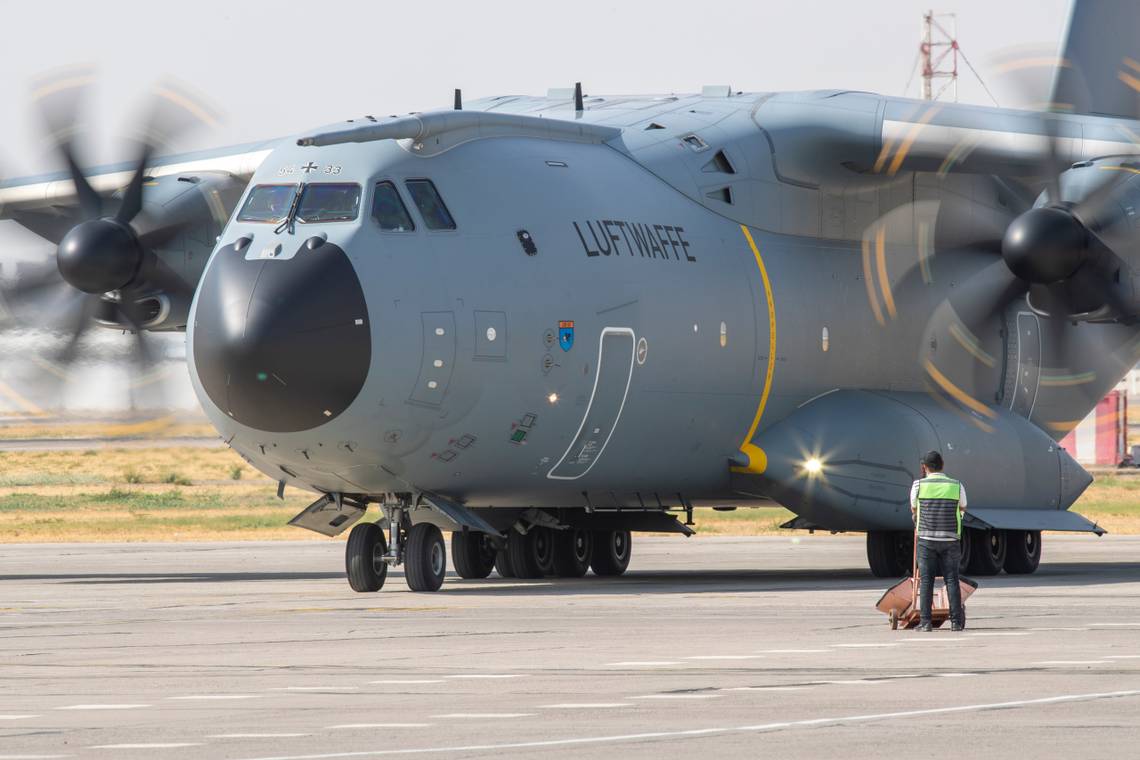
But for military aviators, the challenge continued right up to the deadline of the 31st. Military planes from all over the world arrived to airlift people from Afghanistan to rendezvous points nearby. One US C-17 carried more than 800 Afghans out of the city, with many more following along. But tracking these flights has been challenging.
Stay informed: Sign up for our daily and weekly aviation news digests.
Satellites show evacuation routes
The evacuation from Kabul Airport has been one of the biggest humanitarian and military operations in decades. The efforts were keenly followed on flight tracking services, which highlighted the importance of ADS-B data provided by satellites.
Ground-based ADS-B coverage is incredibly sparse in Afghanistan. Looking at the ground data only shows something of a black hole where Kabul Airport would be located. To get the true picture, satellite data provides much better coverage, as can be seen in the image below.

Spire Aviation provides access to live and historic air traffic data. Thanks to global coverage powered by its satellite constellation, we can clearly see the patterns of evacuation routes out of Kabul.

Spire’s satellite ADS-B data shows the route to the west being used to evacuate people into Pakistan via Islamabad, a fairly short hop from Kabul. But to the south, an even thicker route shows flights using Panjgur and Turbat to land these rescue flights. Pakistan has been instrumental in getting refugees to safety.
Elsewhere, we can see flights heading north to Uzbekistan, a key dropping point for refugees heading for Germany. Tajikistan had an agreement with India to receive its evacuated citizens, who were picked up by the IAF. We can also see aircraft flying into Turkmenistan, which, although not extensively used for evacuations, had opened its airspace for departing flights to use. A thin line further shows a handful of flights heading to the north of Iran.